


Complete your travel selection


Yosemite National Park Planning Map
Material
What's Inside
- Durable and waterproof
- Easy-fold format and convenient size
- Handy slipcase
- Full color and easy to use
- Before-you-go info
- Beautiful imagery
- Tailored itineraries
- Can’t-miss regional highlights
- Detailed town index
- Transport planner
- Themed lists
Covers
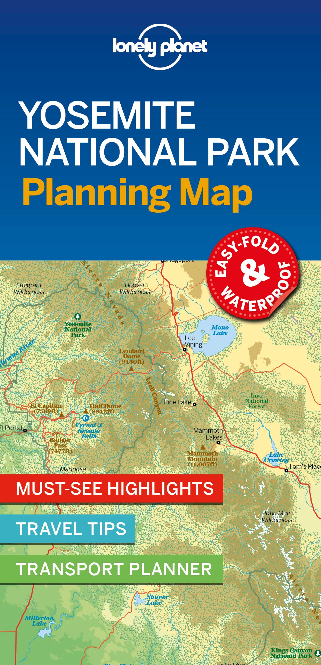
Covers Includes: Yosemite Valley, El Capitan, Half Dome, Yosemite Falls, Wawona, Mariposa Grove, Chilnualna Falls, Pioneer Yosemite History Center, Tioga Road, Olmsted Point, Tenaya Lake, Tuolumne Meadows, Main Meadow, Lembert Dome, Cathedral Range, Hetch Hetchy, Mono Lake, Glacier Point
Book Details
ISBN: 9781788686150
Edition: 1st
Publication Date: March 2019
Writers: Lonely Planet
2 pages, 2pp color, 1 maps | Dimensions: 95mm × 197mm
Next edition due: February 2026
Language: English

You are viewing a Planning Map
What is a Planning Map?
Whether you’re exploring a country or an entire continent, our durable and waterproof Planning maps come in an easy-fold design held inside a handy slipcase. Detailed and easy-to-read, they’re printed in full colour to make travelling and trip planning a breeze. Country-focused, these show a whole nation at a glance, as well as its top regional sights and themed highlights